
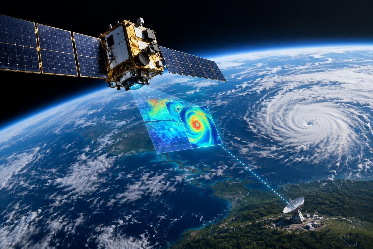
Satellites can observe storms and other changes across the planet, but their measurements still have to make a journey back to Earth before many can be put to work. NOAA is now preparing a test of a different approach: process some satellite data in orbit, then transmit selected results rather than the full raw stream.
The two-year agreement with California-based Cowboy Space Corporation is a research trial, not a change to operational weather forecasts. Its central question is practical: could doing some of the computing closer to where the data is collected reduce the time and resources needed to deliver useful environmental information to the ground?
Move the computing closer to the observations
Earth-observing satellites gather measurements that can be large and complex. NOAA’s Visible Infrared Imaging Radiometer Suite, or VIIRS, for example, flies on satellites in the agency’s Joint Polar Satellite System. Instruments such as this collect observations across different parts of the light spectrum, helping scientists monitor conditions on Earth and in its atmosphere.
In the conventional approach, data are sent to Earth for processing. Cowboy Space’s proposed system would instead carry out some processing aboard a satellite, with the aim of sending down high-quality, critical results. The idea resembles sorting a huge pile of paperwork near the point of collection and shipping only the pages needed for a particular decision. The sorting itself must be reliable: leaving out important information could undermine the value of the shorter transmission.
That makes the experiment about more than speed. NOAA and the company will evaluate the quality of the processed data and whether the approach could be viable for future agency operations. A faster delivery is useful only if the results remain accurate and informative enough for their intended purpose.
A purpose-built satellite, with NOAA data
Cowboy Space will fund, build, launch and operate the test spacecraft, Reason-2, which is scheduled to launch in 2027. It will carry the company’s computing and data-processing payload. NOAA will contribute an existing open-source model and historical raw VIIRS data for the test.
The company describes its broader effort as developing satellites that process data in orbit using what it calls “Super Intelligence,” or SI. That is the company’s terminology; the announcement does not specify the model’s technical design or exactly which processing tasks it will perform during this trial. The test will therefore help establish what the system can do with NOAA data, rather than demonstrate a finished forecasting service.
Reason-2 follows Cowboy Space’s first satellite, Reason-1, which the company says will demonstrate delivering solar energy from space to Earth in the coming months. The missions have different immediate aims, but both sit within the company’s larger interest in putting capabilities in orbit. For NOAA, the present collaboration is specifically about evaluating environmental-data processing.
Promising idea, important limits
Processing in space could be useful when transmitting all the collected data is slow or resource-intensive. But it does not make the journey to Earth disappear: the selected results still need to be sent down, and the system must decide what is important before it knows how people on the ground might use every observation. Those are reasons to test the method against real historical data, not assume that less transmitted data automatically means better forecasts.
NOAA has also drawn a clear boundary around the trial: data processed through this test will not be used in the agency’s weather-forecasting operations. The work is intended to assess the approach and inform a report, not to alter the information forecasters rely on now.
If the experiment shows that useful measurements can be distilled reliably in orbit, it could help shape future satellite systems. For now, the most revealing question is a simple one: when a satellite sees more than it can easily send, can it learn to send the right things?